
Android App (Own Product)
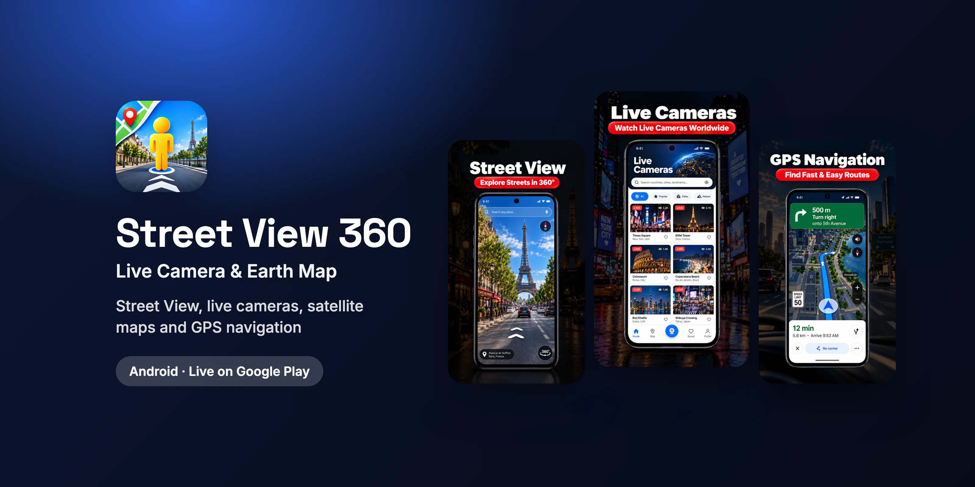
Street View 360: Live Camera
Street View, live cameras, satellite maps and GPS navigation
Introduction
Travellers, drivers and curious explorers want to see a place before they go: the street, the landmarks nearby, the route and the weather. That usually means switching between several apps.
Street View 360: Live Camera is our own Android app that brings 360 Street View, live cameras, earth and satellite maps, GPS navigation, nearby places and weather into one experience. We designed, built and published it on our Google Play developer account, where it has passed 10,000+ downloads.
Project Overview
- Owner: AIM Digital Technologies (our own product, published on our Google Play developer account)
- Platform: Android phones
- Category: Maps and navigation
- Our role: product research, UX/UI design, Android development, QA, Play Store listing and release, monetization and ongoing updates
- Status: live on Google Play, free with in-app purchases, 10,000+ downloads
Problem
- Too many apps for one trip. Street imagery, maps, directions, places and weather each lived in a different app.
- Heavy, data-rich screens. 360 imagery, map tiles and live camera feeds have to load quickly on mid-range phones and patchy connections.
- Many data sources. Street View, satellite imagery, live cameras, places, traffic and weather all come from different services with their own limits.
- Clear expectations. Users need to know the difference between live camera feeds and standard Street View imagery.
Solution
- Street View and 360 view: search any city, landmark or address and explore it in 360 before visiting.
- Live cameras: browse available live camera feeds from destinations worldwide, clearly separated from Street View imagery.
- Earth, world and satellite maps: move from a global view down to street level, with 3D map exploration in supported areas.
- GPS navigation and directions: route planning with turn-by-turn style guidance and travel time.
- Nearby places: restaurants, hospitals, fuel stations and shops around the user, one tap from directions.
- Traffic, weather and distance tools: road conditions, forecasts and a distance measuring tool for trip planning.
- Famous places and world tour: curated landmarks for virtual sightseeing.
The Result
- More than 10,000 downloads on Google Play.
- One app replaces separate street view, map, navigation, places and weather apps.
- Monetized with in-app purchases, released and updated by our own team.
Conclusion
Street View 360 is our most data-heavy consumer app: several map, imagery and location services stitched into one fast Android experience. If you are planning a maps, travel, navigation or location-based app, we have already solved the hard parts.
Cost to build
How much does it cost to build a street view and GPS map app like Street View 360 in 2027?
Typical cost
$7,000–$12,000
Timeline
10–16 weeks
Our app on Google Play
10,000+ downloads
Includes 360 street view, earth and satellite maps, live cameras, GPS navigation, nearby places, weather and in-app purchases. You own the code and the store listing.
FAQ
Building an app like Street View 360: FAQs
Can't find your answer? Ask our team.
How much does it cost to build a street view and GPS map app like Street View 360?
A similar Android app typically costs $7,000–$12,000 with our team and takes 10–16 weeks. That covers 360 street view, earth and satellite maps, live cameras, GPS navigation, nearby places, weather and in-app purchases. Building iOS and Android together in Flutter costs far less than two native apps. Send us your feature list for a fixed quote.
How long does it take to develop a street view and GPS map app?
Plan on 10–16 weeks from kick-off to Google Play release: about a week of scoping and design, then development in two-week sprints with a working build after each one, QA on real devices, and store listing and release.
Which APIs does a street view or GPS map app need?
Apps like this usually combine a maps platform (Google Maps Platform or Mapbox) for maps, Street View imagery, places and directions with a weather API and a live camera source. Map APIs are billed by usage, so we design caching and request limits early to keep running costs under control as downloads grow.
Can you build a street view and GPS map app under my own brand?
Yes. We design and build it for your brand and publish it to your own Google Play (and App Store) account. You own the source code and all IP, under NDA. We can also run updates, ads and in-app purchase setup after launch.
Related services, industries & markets
Work with the team behind this project
Engagement options
- Offshore software development
- Hire Flutter developers
- Hire AI engineers
- Hire Python developers
- Hire React developers
- Hire Node.js developers
- Hire mobile app developers
- Hire React Native developers
- Hire Vue.js developers
- Hire Angular developers
- Hire frontend developers
- Hire backend developers
- Hire full-stack developers
- Hire UI/UX designers
- Hire QA engineers
- Hire DevOps engineers
- Hire cloud engineers
- Hire cybersecurity experts
- Hire SEO specialists
- Hire PPC experts
- Hire WordPress developers
- Hire Webflow developers
- Hire social media managers
- Hire content writers
- Hire digital marketers
- Hire game developers
- Staff augmentation
- Project cost calculator
Have a similar idea?
We'll help you scope it, design it and ship it.
More apps we've published
Android App (Own Product)
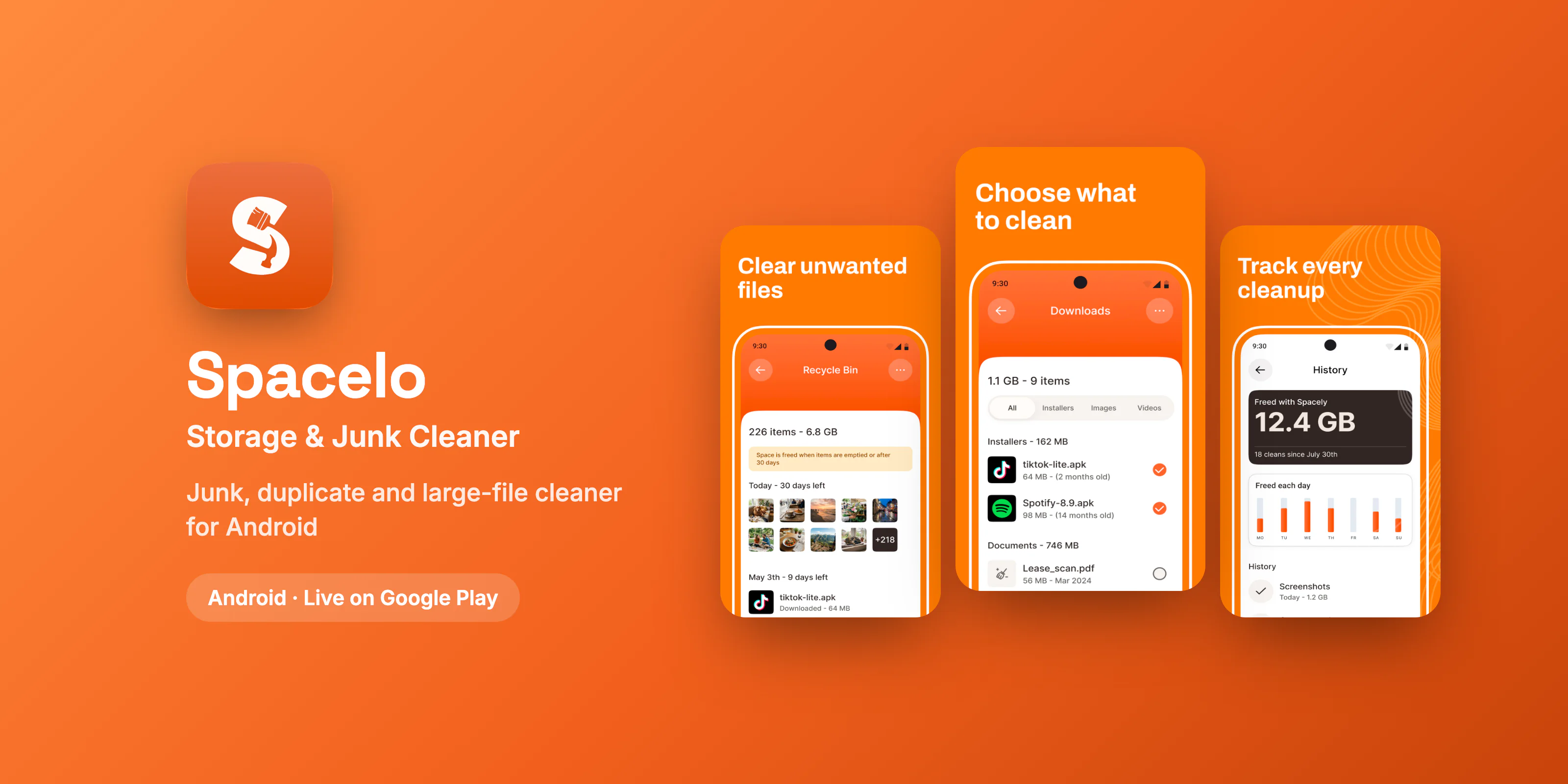
Spacelo: Storage & Junk Cleaner
Android storage cleaner for junk, duplicates and large files
Read case study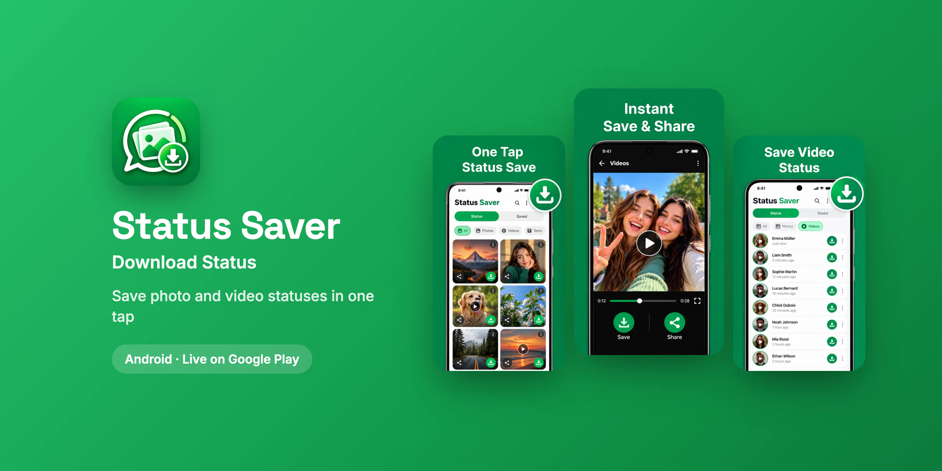
Android App (Own Product)
Status Saver: Download Status
Save photo and video statuses in one tap
Read case study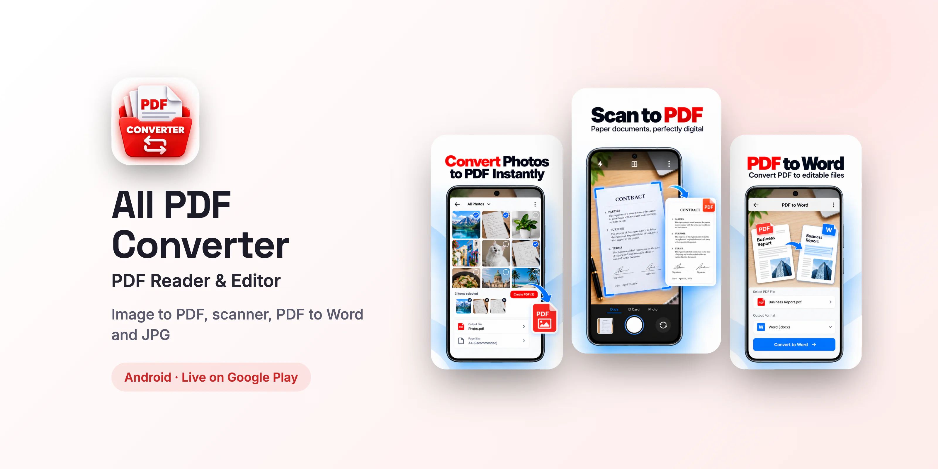
Android App (Own Product)
All PDF Converter App
Image to PDF, scanner, PDF reader, editor and converter
Read case studyFree consultation
Let's build something that actually works
Tell us about your project and get a free 30-minute consultation with a senior engineer. You'll leave with clear next steps, whether you work with us or not.
- Reply within one business day
- NDA on request, 100% IP ownership
- Clear scope, timeline and estimate
- Talk directly to senior engineers